Page 233
U.S. Case Studies: An Introduction
M. Gordon Wolman
Department of Geography and Environmental Engineering, Johns Hopkins University
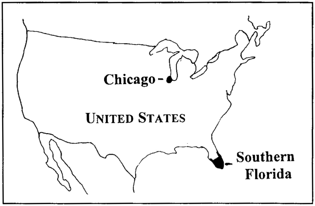
Although in very different settings, the U.S. study sites—South Florida in the southeastern United States and Chicago in the American Midwest—demonstrate the dynamic changes in population that have taken place over short periods of time in their histories and the massive alterations of the landscape that have accompanied changes in population, economy, technology, and policy (see map, p. 236).
SOUTH FLORIDA
Perhaps no single place in the United States illustrates the complex relation between population and land use more vividly than South Florida. South Florida lies in southernmost North America in the humid subtropical climatic zone. The region's mild winter climate and warm summer climate lend themselves to an extended growing season. Most years the area has no freezing temperatures and enjoys a growing season of more than 320 days. Crops could be grown throughout the year, but the stresses of the summer heat and humidity on most agricultural plants reduce yields.
The natural hydrologic system in South Florida before the government began drainage projects was extensive. A hydrologic conduit connected central Florida, just south of present-day Orlando, to the mangrove reaches of Florida Bay, gateway to the tropical Florida Keys. Water flowing through the Kissimmee River was impounded by Lake Okeechobee until breaching its low banks. From there it continued south through stretches of saw grass and deepwater sloughs until it reached the
Page 234
high-saline waters of Florida Bay. The geographic area of slowly moving water is known as the Everglades, although the term is also often used to refer more generally to the region's natural systems.
In 1845 the population of the entire state of Florida was less than 80,000; from 1950 to 1990 it rose from 760,000 to 4.65 million and the landscape was transformed physically in heroic ways. In recent decades in South Florida, the natural wetland has given way to agriculture and to urbanization along the Atlantic and Gulf coasts. In this state known for its vast numbers of tourists and elaborate land development schemes, including some financial disasters in the latter half of the twentieth century, population growth has been driven by retirees from the north, joined by Latin American immigrants. Population concentrated on the state's eastern coast has produced a sharp contrast to the agricultural and natural landscape to the west.
To mitigate flood damage and provide drainage for potential agricultural land, the federal government and others have reengineered South Florida's wetland water systems. The immense infrastructure for water management includes levees, canals, pumping systems, and diversion structures. As a result, over the years the marshland of the Everglades has been reduced by half, and its wildlife populations of birds and mammals have been decimated. Even as the landscape has been transformed from one dominated by natural areas to one dominated by human activities, the efforts under way to return the engineered straight channel of the Kissimmee River to its “natural” meandering pattern reflect the changing values of society in the current era. In contrast, the city of Miami continues to grow and represents a major international metropolitan region, a dominant center of commercial activities between the United States and Latin America.
In summary, transformation of the landscape of South Florida has been driven by agriculture, real estate ventures to satisfy the demands for permanent housing and tourism, and commercial development. It also has been nurtured by government policies and facilitated by the provision of an engineered infrastructure on a grand scale.
CHICAGO REGION
The dynamism of the transformation of the Chicago region from the mid-nineteenth century to the present rivals that of South Florida, but in an entirely different landscape and over a somewhat different period of time. Overall, the region can be characterized as a flat plain that was, in earlier days, covered primarily with natural prairie grass; some forested areas were found in the northeastern reaches of the region. As the agricultural frontier moved west, however, the landscape was quickly trans-
Page 235
formed, and the natural grasses were eventually replaced with domestic crops such as wheat, corn, and oats.
The region's average annual temperatures range from 24°C to 26°C in the summer months and from −4°C to 0°C in the winter months. The average annual precipitation is somewhat less than 1,000 millimeters. With its combination of moderate temperatures and precipitation and fertile soils, the region is ideal for high agricultural productivity.
Land use in the Chicago region has changed dramatically since the early 1800s when it was still primarily unsettled, except for scattered indigenous encampments. This natural environment quickly gave way to agricultural production, and by 1900 more than 90 percent of the region was under cultivation. Although agriculture has dominated land use in the region even up to the present day, the urban influence has expanded.
Chicago, a small city of 5,000 in 1840, began expanding rapidly after the U.S. Civil War, growing 10.4 percent a year from 1840 to 1900. It owes its establishment to the presence of Lake Michigan and the opportunity for water transportation in a region of flat land with great potential for crop and cattle production adjacent to regions supporting vast timberlands. Grassland, timber, and livestock provided successive commercial bases for development, including the evolution from handling live animals to operating slaughterhouses to shipping refrigerated carcasses, and grain, to the East Coast. Remarkable improvements in agricultural technology have enhanced agricultural productivity in the region, although the land area devoted to farming has declined.
In Chicago's earliest days, the slaughterhouses and timber handling posed severe pollution problems. Today, despite the presence of dense traffic, the favorable climate and federal regulation of automobile exhaust have limited the level of air pollution in the region.
The population of the city of Chicago peaked in 1950, but the metropolitan region continues to grow. Much of Chicago's early population growth was fed by the arrival of European immigrants from the East Coast. Chicago's economy continues to evolve—from agriculture to transportation, then to industry and commerce, and ultimately to finance—as employment in the modern era shifts from the secondary to the tertiary sector. Testament to the region's economic health is the thriving business district that lies adjacent to the expansive waterfront park on Lake Michigan and the new business centers and suburban housing developments that reflect the changing land use.