National Academies Press: OpenBook
« Previous: D Details of CEGIS-Funded Activities in Fiscal Year 2007
Suggested Citation:"E Acronyms and Abbreviations ." National Research Council. 2007. A Research Agenda for Geographic Information Science at the United States Geological Survey. Washington, DC: The National Academies Press. doi: 10.17226/12004.
×
Page 141
Suggested Citation:"E Acronyms and Abbreviations ." National Research Council. 2007. A Research Agenda for Geographic Information Science at the United States Geological Survey. Washington, DC: The National Academies Press. doi: 10.17226/12004.
×
Page 142
Suggested Citation:"E Acronyms and Abbreviations ." National Research Council. 2007. A Research Agenda for Geographic Information Science at the United States Geological Survey. Washington, DC: The National Academies Press. doi: 10.17226/12004.
×
Page 143
Suggested Citation:"E Acronyms and Abbreviations ." National Research Council. 2007. A Research Agenda for Geographic Information Science at the United States Geological Survey. Washington, DC: The National Academies Press. doi: 10.17226/12004.
×
Page 144

Below is the uncorrected machine-read text of this chapter, intended to provide our own search engines and external engines with highly rich, chapter-representative searchable text of each book. Because it is UNCORRECTED material, please consider the following text as a useful but insufficient proxy for the authoritative book pages.

E Acronyms and Abbreviations AJAX Asynchronous JavaScript and XML API application programming interface BARO Basic and Applied Research Office CEGIS Center of Excellence for Geospatial Information Science COGIT Conception Objet et Généralisation de l’Information Topographique CRADA Cooperative Research and Development Act CSW Catalog Service for Web DARPA Defense Advanced Research Projects Agency DCM Digital Cartographic Model DHS Department of Homeland Security DLM Digital Landscape Model DOE Department of Energy DOI Department of the Interior EPA U.S. Environmental Protection Agency EROS Center for Earth Resources Observation and Science ESRI Environmental Systems Research Institute FEMA Federal Emergency Management Agency FGDC Federal Geographic Data Committee FTE full-time equivalent GEOLEM Geospatial Object Library for Environmental Modeling GIS geographic information system 141

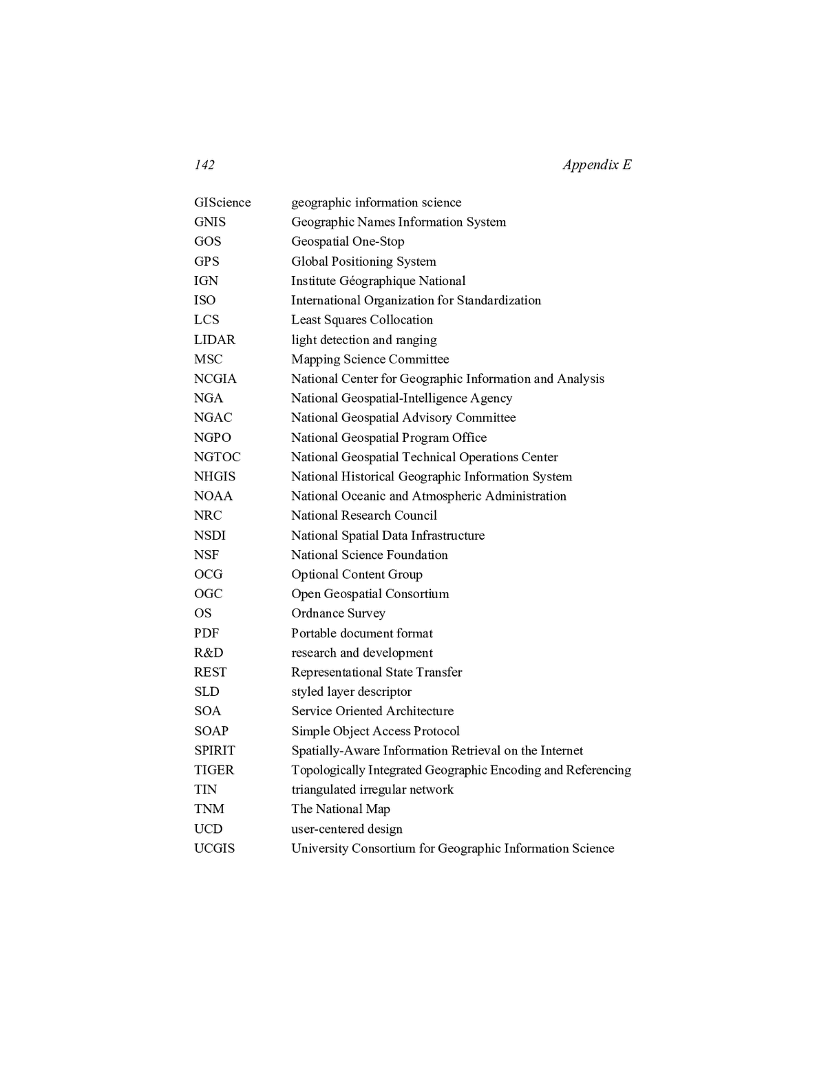
142 Appendix E GIScience geographic information science GNIS Geographic Names Information System GOS Geospatial One-Stop GPS Global Positioning System IGN Institute Géographique National ISO International Organization for Standardization LCS Least Squares Collocation LIDAR light detection and ranging MSC Mapping Science Committee NCGIA National Center for Geographic Information and Analysis NGA National Geospatial-Intelligence Agency NGAC National Geospatial Advisory Committee NGPO National Geospatial Program Office NGTOC National Geospatial Technical Operations Center NHGIS National Historical Geographic Information System NOAA National Oceanic and Atmospheric Administration NRC National Research Council NSDI National Spatial Data Infrastructure NSF National Science Foundation OCG Optional Content Group OGC Open Geospatial Consortium OS Ordnance Survey PDF Portable document format R&D research and development REST Representational State Transfer SLD styled layer descriptor SOA Service Oriented Architecture SOAP Simple Object Access Protocol SPIRIT Spatially-Aware Information Retrieval on the Internet TIGER Topologically Integrated Geographic Encoding and Referencing TIN triangulated irregular network TNM The National Map UCD user-centered design UCGIS University Consortium for Geographic Information Science

Appendix E 143 UID User Interface Design USDA U.S. Department of Agriculture USGS U.S. Geological Survey WCS Web Coverage Services WFS Web Feature Services WMS Web Map Services

A Research Agenda for Geographic Information Science at the United States Geological Survey Get This Book
×
 A Research Agenda for Geographic Information Science at the United States Geological Survey
Buy Paperback | $53.00 Buy Ebook | $42.99
MyNAP members save 10% online.
Login or Register to save!
Download Free PDF

Comprehensive and authoritative baseline geospatial data content is crucial to the nation and to the U.S. Geological Survey (USGS). The USGS founded its Center of Excellence for Geospatial Information Science (CEGIS) in 2006 to develop and distribute national geospatial data assets in a fast-moving information technology environment. In order to fulfill this mission, the USGS asked the National Research Council to assess current GIScience capabilities at the USGS, identify current and future needs for GIScience capabilities, recommend strategies for strengthening these capabilities and for collaborating with others to maximize research productivity, and make recommendations regarding the most effective research areas for CEGIS to pursue. With an initial focus on improving the capabilities of The National Map, the report recommends three priority research areas for CEGIS: information access and dissemination, data integration, and data models, and further identifies research topics within these areas that CEGIS should pursue. To address these research topics, CEGIS needs a sustainable research management process that involves a portfolio of collaborative research that balances short and long term goals.

READ FREE ONLINE

  1. ×

    Welcome to OpenBook!

    You're looking at OpenBook, NAP.edu's online reading room since 1999. Based on feedback from you, our users, we've made some improvements that make it easier than ever to read thousands of publications on our website.

    Do you want to take a quick tour of the OpenBook's features?

    No Thanks Take a Tour »
  2. ×

    Show this book's table of contents, where you can jump to any chapter by name.

    « Back Next »
  3. ×

    ...or use these buttons to go back to the previous chapter or skip to the next one.

    « Back Next »
  4. ×

    Jump up to the previous page or down to the next one. Also, you can type in a page number and press Enter to go directly to that page in the book.

    « Back Next »
  5. ×

    To search the entire text of this book, type in your search term here and press Enter.

    « Back Next »
  6. ×

    Share a link to this book page on your preferred social network or via email.

    « Back Next »
  7. ×

    View our suggested citation for this chapter.

    « Back Next »
  8. ×

    Ready to take your reading offline? Click here to buy this book in print or download it as a free PDF, if available.

    « Back Next »
Stay Connected!